
Direct record
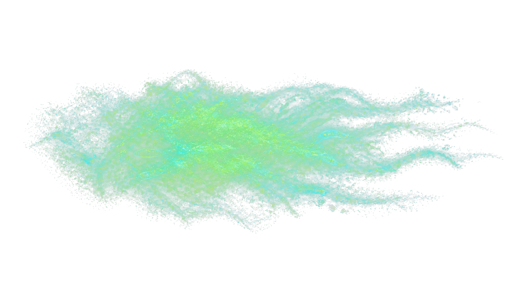
Large pennate diatoms increased during IronEx II, alongside a shift away from picoplankton. Community response depends on initial conditions, grazing, nutrients and physical forcing.
Broad equatorial context
The 5°N–5°S band is a broad equatorial geographic reference, not an HNLC boundary or project area. IronEx II demonstrated a surface biological and carbonate-system response. Fast advection, ENSO variability and downstream effects make attribution and counterfactual design central research problems.
Regional carbon pathway
Named field studies separate observed responses from unresolved atmospheric removal and durability.
A rapidly advected, repeatedly fertilised patch with large pennate-diatom response and downstream attribution demands.
A tracked IronEx II patch moved roughly 1,500 km in 19 days; attribution depends on a moving treatment/reference and downstream frame.Evidence: Coale et al. (1996)
Treatment, matched reference and downstream observations distinguish fertilisation response from natural variability and physical transport.Evidence: Coale et al. (1996)
IronEx II produced surface nutrient and CO₂ drawdown and shifted the observed community from picoplankton toward large pennate diatoms.Evidence: Cavender-Bares et al. (1999)
A ²³⁴Th-derived POC export estimate was made at about 25 m, near the mixed-layer base. IronEx II did not include an untreated ²³⁴Th comparison or a deep-ocean export measurement.Evidence: Bidigare et al. (1999) · Buesseler et al. (2024)
IronEx II surface pCO₂ drawdown reduced ocean-to-atmosphere CO₂ outgassing during the observation window. Net atmospheric uptake and durability remain conditional on air–sea equilibration, downstream transport, remineralisation and circulation relative to an untreated, matched water mass.Evidence: Steinberg et al. (1998) · Buesseler et al. (2024)
Treatment, matched reference and downstream corridor observations span physical transport, biology, carbonate chemistry, particles, gases and ecological response.Evidence: Steinberg et al. (1998) · Buesseler et al. (2024)
Large pennate diatoms increased during IronEx II, alongside a shift away from picoplankton. Community response depends on initial conditions, grazing, nutrients and physical forcing.
The IronEx II patch travelled roughly 1,500 km in 19 days. A coordinate is not a stable experimental boundary.
Surface nutrient and CO₂ drawdown were observed; durable export and net atmospheric removal were not established by the historic experiments.
Not quantified
No field-derived regional GtCO₂/yr estimate.
Buesseler et al. (2024)
Moving-patch tracking, matched references, downstream-corridor coverage, repeated ship time, autonomous observations and laboratory analyses.
Route atlas
Study-specific atlas. It is not a regional composition, limitation or removal ledger.
Study-specific moving frame; not a universal regional community.
Initially rare pennate diatoms increased 15-fold by bloom peak; within one week the observed community shifted from picoplankton toward large diatoms.
upper-ocean ²³⁴Th-derived POC estimate
Derived upper-ocean POC export estimate only.
| Study / treated guild | Matched reference | Treated response | Morphology / resolution | Source |
|---|---|---|---|---|
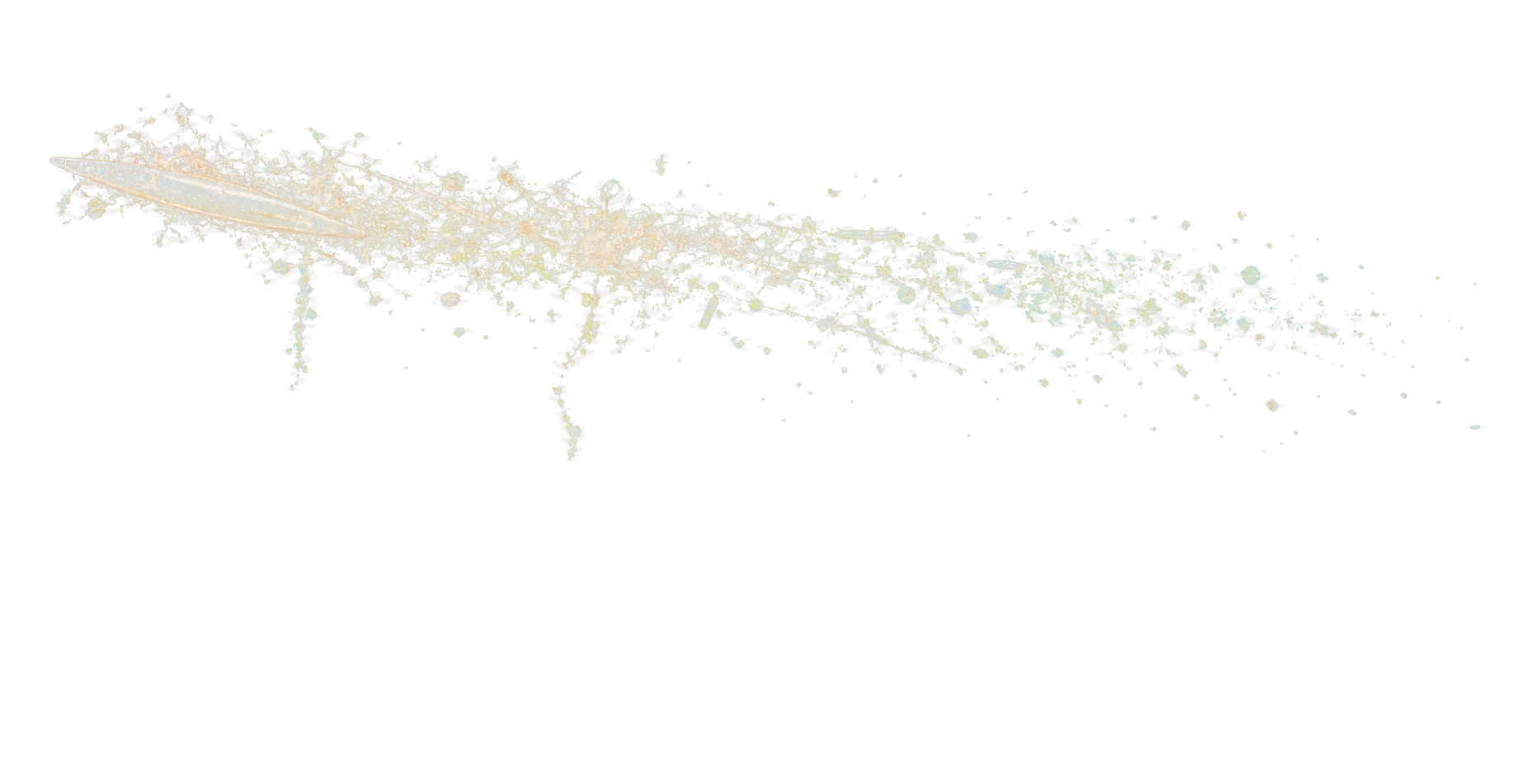
| IronEx II · large pennate diatoms | Before addition, picoplankton dominated; the named record separately resolved Prochlorococcus, Synechococcus, ultraplankton, nanoplankton and pennate diatoms. Study-specific moving frame; not a universal regional community. | Initially rare pennate diatoms increased 15-fold by bloom peak; within one week the observed community shifted from picoplankton toward large diatoms. | elongated asymmetric pennate frustule. guild-level · No species identity, chain dimension or resting stage is specified. Morphology schematic · not to scale | Coale et al. (1996) ↗ · Cavender-Bares et al. (1999) ↗ · Bidigare et al. (1999) ↗ · Landry et al. (2000) ↗ · PANGAEA.992909 / SO298 GEOTRACES GP11 ↗ |
| Study | Record | Analyte | Method / fraction / depth | Date / value | Status | Limit / context | Source |
|---|---|---|---|---|---|---|---|
| IronEx II | Treatment input / patch | Fe and SF6 | — | — — | Observed | Fe addition and SF6 tracer defined the treatment patch; no compatible ambient dissolved-Fe number is retained. | Coale et al. (1996) ↗ |
| 2023 GP11 transect context — not IronEx II water | |||||||
| IronEx II | Regional transect context | phosphate | dissolved (<0.2 µm) · 20.7–21.2 m | — n=3; min / median / max 0.572 / 0.585 / 0.593 µmol/kg | Observed | 2023 GP11 transect context — not IronEx II water QF-filtered · SeaDataNet QF 1/2 | PANGAEA.992909 / SO298 GEOTRACES GP11 PANGAEA.992909 / SO298 GEOTRACES GP11 ↗ |
| IronEx II | Regional transect context | silicic acid | dissolved (<0.2 µm) · 20.7–21.2 m | — n=3; min / median / max 2.6 / 2.79 / 3.07 µmol/kg | Observed | 2023 GP11 transect context — not IronEx II water QF-filtered · SeaDataNet QF 1/2 | PANGAEA.992909 / SO298 GEOTRACES GP11 PANGAEA.992909 / SO298 GEOTRACES GP11 ↗ |
| IronEx II | Regional transect context | nitrate plus nitrite | dissolved (<0.2 µm) · 20.7–21.2 m | — n=3; min / median / max 5.34 / 5.54 / 5.56 µmol/kg | Observed | 2023 GP11 transect context — not IronEx II water QF-filtered · SeaDataNet QF 1/2 | PANGAEA.992909 / SO298 GEOTRACES GP11 PANGAEA.992909 / SO298 GEOTRACES GP11 ↗ |
| IronEx II | Regional transect context | dissolved Ni | dissolved (<0.2 µm) · 20.7–21.2 m | — n=2; min / median / max 2.82 / 2.895 / 2.97 nmol/kg | Observed | 2023 GP11 transect context — not IronEx II water QF-filtered · SeaDataNet QF 1/2; n=2 after per-analyte filtering | PANGAEA.992909 / SO298 GEOTRACES GP11 PANGAEA.992909 / SO298 GEOTRACES GP11 ↗ |
| IronEx II | Regional transect context | dissolved Cu | dissolved (<0.2 µm) · 20.7–21.2 m | — n=3; min / median / max 0.721 / 0.78 / 0.802 nmol/kg | Observed | 2023 GP11 transect context — not IronEx II water QF-filtered · SeaDataNet QF 1/2 | PANGAEA.992909 / SO298 GEOTRACES GP11 PANGAEA.992909 / SO298 GEOTRACES GP11 ↗ |
| IronEx II | Regional transect context | dissolved Zn | dissolved (<0.2 µm) · 20.7–21.2 m | — n=3; min / median / max 0.081 / 0.233 / 0.254 nmol/kg | Observed | 2023 GP11 transect context — not IronEx II water QF-filtered · SeaDataNet QF 1/2 | PANGAEA.992909 / SO298 GEOTRACES GP11 PANGAEA.992909 / SO298 GEOTRACES GP11 ↗ |
| IronEx II | Regional transect context | dissolved Cd | dissolved (<0.2 µm) · 20.7–21.2 m | — n=3; min / median / max 0.012 / 0.017 / 0.022 nmol/kg | Observed | 2023 GP11 transect context — not IronEx II water QF-filtered · SeaDataNet QF 1/2 | PANGAEA.992909 / SO298 GEOTRACES GP11 PANGAEA.992909 / SO298 GEOTRACES GP11 ↗ |
| IronEx II | Regional transect context | Fe, Mn, Co and B12 | — | — — | Local baseline required | Not measured in the selected GP11 dataset; no numeric value is inserted. | PANGAEA.992909 / SO298 GEOTRACES GP11 ↗ |
| IronEx II | Cellular function | Fe and silicic acid | — | — — | Context only | Fe supports photosynthetic/electron-transfer and nitrogen-assimilation machinery; silicic acid forms diatom frustules. This is physiological context, not a demonstrated limitation or species-specific stoichiometry. | — |
| IronEx II | Cellular function | Mn, Zn, Co, Cu, Ni, Cd and B12 | — | — — | Not reported | No route-specific cellular-function, stoichiometry or limitation claim is retained. | — |
| Study | Carrier / process | Method | Depth / timing | Status | Inference limit | Source |
|---|---|---|---|---|---|---|
| IronEx II | upper-ocean ²³⁴Th-derived POC estimate Derived upper-ocean POC export estimate only. | ²³⁴Th–POC estimate | about 25 m near the mixed-layer base; study window | Derived | No untreated ²³⁴Th comparison or deep-ocean export measurement; no carrier-specific or atmospheric-removal inference. | Coale et al. (1996) ↗ · Cavender-Bares et al. (1999) ↗ · Bidigare et al. (1999) ↗ · Landry et al. (2000) ↗ · PANGAEA.992909 / SO298 GEOTRACES GP11 ↗ |
Scroll the table horizontally to view Source.
| Study | Observed response | Morphology / food-web control | Source |
|---|---|---|---|
| IronEx II | Large pennate-diatom response observed in IronEx II | Study-specific morphology; grazing and later fate remain context-dependent. | DOI |
| Nitrate / phosphate / silicic acid | Fe | Mn / Zn / Co / B12 | Measurement need | Source / evidence |
|---|---|---|---|---|
| Not reported in cited study | Local baseline required | Not reported in cited study | Local baseline required | Study evidence status · DOI |
01 · evidence pathway
Field observations, model outputs and unresolved questions answer different parts of the pathway. Together, the records describe study-specific responses; net atmospheric removal and legal status remain separate questions.
Primary evidence: Coale et al. (1996) · Cavender-Bares et al. (1999) · Bidigare et al. (1999) · Steinberg et al. (1998) · Browning et al. (2023) · NASEM (2022) · Yu et al. (2026)
IronEx II's traced patch moved about 1,500 km in 19 days, showing that treatment, reference and downstream observations depend on a shared moving physical frame.
Repeated iron additions were accompanied by nutrient and CO₂ drawdown and a shift toward large pennate diatoms in the observed setting.
ENSO, upwelling, mixing, grazing and natural iron supply can change the same measurements used for attribution.
A surface bloom or drawdown does not show how much carbon crossed depth horizons, remained isolated, or produced additional atmospheric uptake.
Scenario models examine downstream productivity, oxygen and food-web effects; these are hypotheses for observation, not field outcomes.
Biological response
Cell size, silica demand, aggregation, grazing, toxins and food-web pathways influence whether fixed carbon is recycled or transported.
Large pennate diatoms increased during IronEx II, alongside a shift away from picoplankton. Community response depends on initial conditions, grazing, nutrients and physical forcing.
Taxonomy and chlorophyll alone do not determine grazing, aggregation, dissolved-carbon release, toxin response or later remineralisation.
Taxonomy, size structure, primary production, grazing, particle size, toxins, oxygen, pH, trace gases and food-web indicators form a matched time series.
Carbon pathway
Surface nutrient and CO₂ drawdown were observed; durable export and net atmospheric removal were not established by the historic experiments.
The IronEx II patch travelled roughly 1,500 km in 19 days. A coordinate is not a stable experimental boundary.
Open the five-breakpoint explorer →Observation design
Matched physical, biological, chemical and ecological observations separate intervention effects from background variability across time and space.
Treatment, matched reference and downstream corridor observations span physical transport, biology, carbonate chemistry, particles, gases and ecological response.
Explore instruments and limits →Moving-patch tracking, matched references, downstream-corridor coverage, repeated ship time, autonomous observations and laboratory analyses.
Operational costs depend on vessel time, instrumentation, sampling design and follow-up; no regional cost estimate is available here.
Featured evidence contexts
These records connect regional mechanisms to specific experiments, observatories and natural analogues without ranking the settings.
Governance context
High-seas experiments, protected island systems, EEZ research locations and disputed maritime spaces have distinct institutional and legal contexts.
Coordinates, water-column and downstream domains, vessel flag, ports, material, research purpose and potential effects shape the applicable routes.
Authority can depend on the exact activity, location, vessel, operator, material, duration, effects and applicable law.
Open governance & legal context →